Publishing a Shapefile using ArcGIS Online
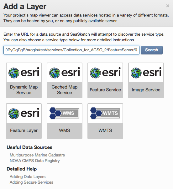
Once you have successfully published your shapefile as a Feature Layer, you can copy the service URL from ArcGIS online, then add it as you would any other map service in the SeaSketch Admin interface.
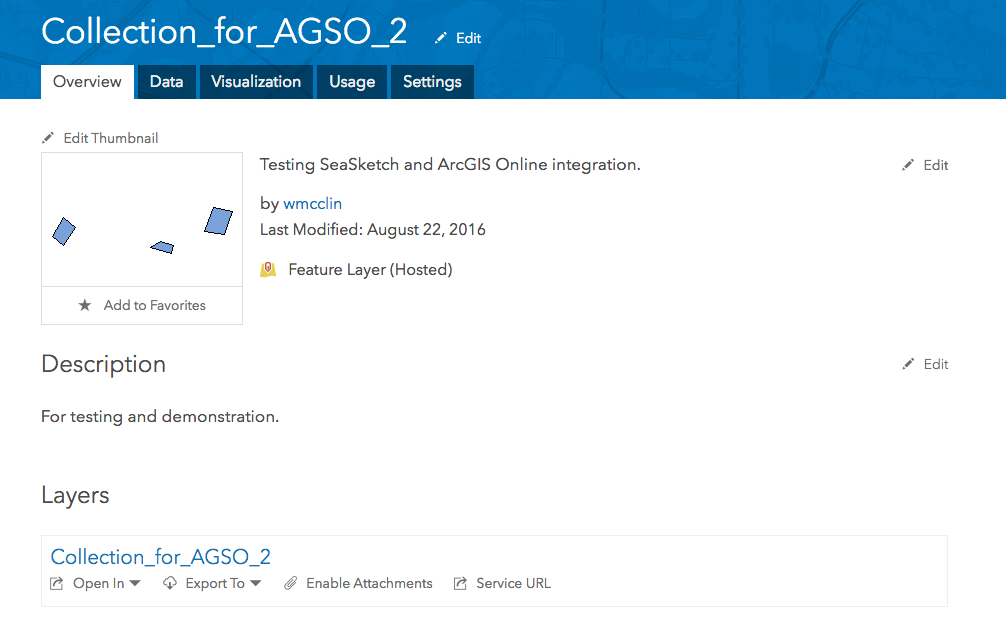
Notice the "Service URL" link above. Click on that and copy the URL, which will look something like this:
http://services1.arcgis.com/4TXrdeWh0RyCqPgB/arcgis/rest/services/Collection_for_AGSO_2/FeatureServer/0
The FeatureServer string at or near the end is the indication that you've got the right URL. Past this into the Admin interface of SeaSketch:
That's all there is to it! Now you know how to take content that you have created in SeaSketch (and other sources, presumably), create a map service in ArcGIS Online, and add that as a map layer to your SeaSketch project.